 vesseltracker.com
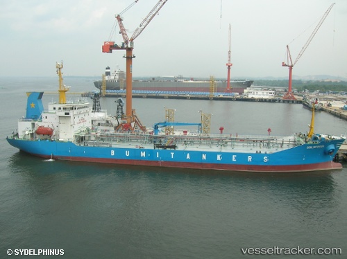
Find the position of the vessel Mt.bumi Indonesia on the map. The latter are known coordinates and path.
marine traffic ship tracker show on live map
The current position of vessel Mt.bumi Indonesia is 1.75904 lat / 101.36649 lng. Updated: 2025-11-15 18:28:02 UTCDetails:
Last coordinates of the vessel:
UTC, 1.72689, 101.43401, course: 124, speed: 0UTC, 1.72677, 101.43400, course: 118, speed: 0.1
UTC, 1.72680, 101.43432, course: 89, speed: 0.3
2025-11-15 18:28:02 UTC, 1.75904, 101.36649, course: 327, speed: 0.2