 vesseltracker.com
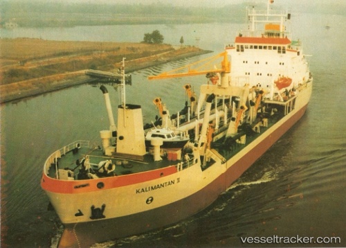
Live AIS position:
7.18105° S, 112.69693° E UTC. Near Kalianak Barat),
updated 2025-11-19 17:12:20 UTC.
Find the position of the vessel Tshd Kalimantan Ii on the map. The latter are known coordinates and path.
marine traffic ship tracker show on live map
The current position of vessel Tshd Kalimantan Ii is -7.18105 lat / 112.69693 lng. Updated: 2025-11-19 17:12:20 UTCDetails:
Last coordinates of the vessel:
UTC, -7.18066, 112.69704, course: 144, speed: 0UTC, -7.18062, 112.69711, course: 146, speed: 0
UTC, -7.18067, 112.69703, course: 144, speed: 0
2025-11-19 17:12:20 UTC, -7.18105, 112.69693, course: 94, speed: 0