 vesseltracker.com
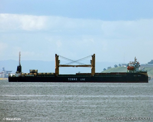
Find the position of the vessel Gulf Mas on the map. The latter are known coordinates and path.
marine traffic ship tracker show on live map
The current position of vessel Gulf Mas is -7.18694 lat / 112.687 lng. Updated: 2025-06-21 20:22:00 UTCPort of registry:
Jakarta (capital and largest city of Indonesia)Payload_mass:
5889 tonneGross tonnage:
4990Service entry:
2016-01-01T00:00:00ZDetails:
Last coordinates of the vessel:
UTC, -7.18694, 112.687, course: -1, speed: 0UTC, -7.18692, 112.687, course: -1, speed: 0
UTC, -7.18693, 112.687, course: -1, speed: 0
2025-06-21 20:22:00 UTC, -7.18694, 112.687, course: -1, speed: 0