 vesseltracker.com
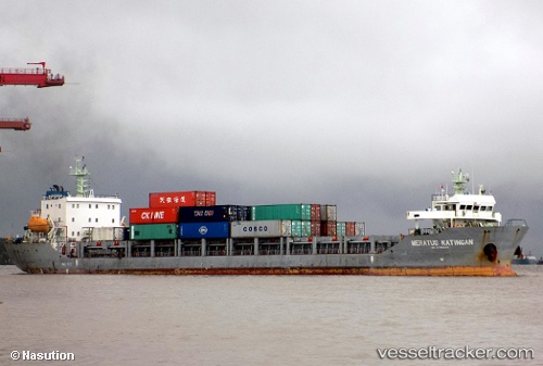
Find the position of the vessel Meratus Katingan on the map. The latter are known coordinates and path.
marine traffic ship tracker show on live map
The current position of vessel Meratus Katingan is -6.91779 lat / 112.72572 lng. Updated: 2025-10-22 00:13:40 UTCDetails:
Last coordinates of the vessel:
UTC, -6.91779, 112.72572, course: -1, speed: 7UTC, -6.91779, 112.72572, course: -1, speed: 7
UTC, -6.91779, 112.72572, course: -1, speed: 7
2025-10-22 00:13:40 UTC, -6.91779, 112.72572, course: -1, speed: 7