 vesseltracker.com
Find the position of the vessel Selatan Damai on the map. The latter are known coordinates and path.
marine traffic ship tracker show on live map
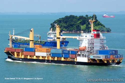
The current position of vessel Selatan Damai is 22.00347 lat / 89.54043 lng. Updated: 2025-11-18 07:27:29 UTCCurrently sailing under the flag of Indonesia
Selatan Damai built in 2007 year
Deadweight:
8150 tDetails:
Last coordinates of the vessel:
UTC, 22.39888, 89.61220, course: 148, speed: 11.8UTC, 22.39888, 89.61220, course: 148, speed: 11.8
UTC, 22.16045, 89.57028, course: 136, speed: 14.1
2025-11-18 07:27:29 UTC, 22.00347, 89.54043, course: 211, speed: 15.1