 vesseltracker.com
Find the position of the vessel PRIMA LAUTAN I on the map. The latter are known coordinates and path.
marine traffic ship tracker show on live map
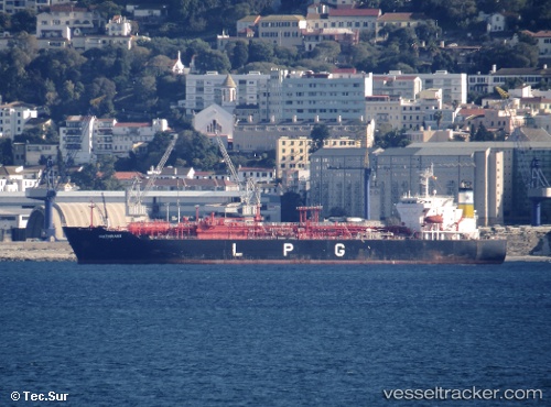
The current position of vessel PRIMA LAUTAN I is -6.10157 lat / 106.90597 lng. Updated: 2025-10-10 15:35:55 UTCCurrently sailing under the flag of Indonesia
PRIMA LAUTAN I built in 2003 year
Deadweight:
19621 tDetails:
Last coordinates of the vessel:
UTC, -6.10155, 106.90598, course: 4, speed: 0UTC, -6.10157, 106.90598, course: 4, speed: 0
UTC, -6.10157, 106.90597, course: 4, speed: 0
2025-10-10 15:35:55 UTC, -6.10157, 106.90597, course: 4, speed: 0