 vesseltracker.com
Find the position of the vessel SARAH S on the map. The latter are known coordinates and path.
marine traffic ship tracker show on live map
The current position of vessel SARAH S is 0.76574 lat / 117.91152 lng. Updated: 2025-11-14 10:47:40 UTCCurrently sailing under the flag of Indonesia
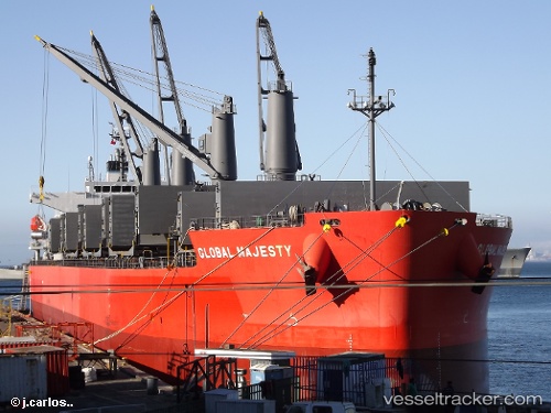
SARAH S built in 2012 year
Deadweight:
56052 tDetails:
Last coordinates of the vessel:
UTC, 0.76667, 117.91167, course: -1, speed: 0UTC, 0.76667, 117.91167, course: -1, speed: 0
UTC, 0.76635, 117.91104, course: 79, speed: 0
2025-11-14 10:47:40 UTC, 0.76574, 117.91152, course: 54, speed: 0