 vesseltracker.com
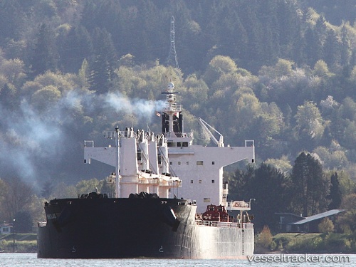
Find the position of the vessel MUBASYIR on the map. The latter are known coordinates and path.
marine traffic ship tracker show on live map
The current position of vessel MUBASYIR is -1.15500 lat / 117.24667 lng. Updated: 2025-11-14 15:50:20 UTCCurrently sailing under the flag of Indonesia
MUBASYIR built in 2009 year
Deadweight:
58081 tDetails:
Last coordinates of the vessel:
UTC, -1.15500, 117.24667, course: -1, speed: 0UTC, -1.15500, 117.24667, course: -1, speed: 0
UTC, -1.15500, 117.24667, course: -1, speed: 0
2025-11-14 15:50:20 UTC, -1.15500, 117.24667, course: -1, speed: 0