 vesseltracker.com
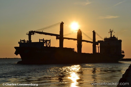
Find the position of the vessel MERATUS AMPANA on the map. The latter are known coordinates and path.
marine traffic ship tracker show on live map
The current position of vessel MERATUS AMPANA is -5.99073 lat / 106.90458 lng. Updated: 2025-10-03 00:55:38 UTCCurrently sailing under the flag of Indonesia
MERATUS AMPANA built in 2002 year
Deadweight:
27403 tDetails:
Last coordinates of the vessel:
UTC, -6.06673, 106.88129, course: 4, speed: 9.7UTC, -5.99066, 106.90458, course: 148, speed: 0.2
UTC, -5.99059, 106.90483, course: 165, speed: 0
2025-10-03 00:55:38 UTC, -5.99073, 106.90458, course: 149, speed: 0