 vesseltracker.com
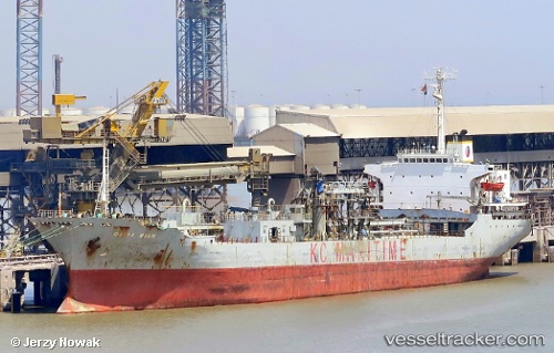
Find the position of the vessel DARYA MAJU on the map. The latter are known coordinates and path.
marine traffic ship tracker show on live map
The current position of vessel DARYA MAJU is -1.2593216666667 lat / 116.79933 lng. Updated: 2025-10-13 13:48:32 UTCCurrently sailing under the flag of Indonesia
DARYA MAJU built in 1985 year
Deadweight:
17346 tDetails:
Last coordinates of the vessel:
UTC, -1.2593216666667, 116.79933, course: -1, speed: 0.1UTC, -1.2593216666667, 116.79933, course: -1, speed: 0.1
UTC, -1.2593216666667, 116.79933, course: -1, speed: 0.1
UTC, -1.2593216666667, 116.79933, course: -1, speed: 0.1
UTC, -1.2593216666667, 116.79933, course: -1, speed: 0.1
2025-10-13 13:48:32 UTC, -1.2593216666667, 116.79933, course: -1, speed: 0.1