 vesseltracker.com
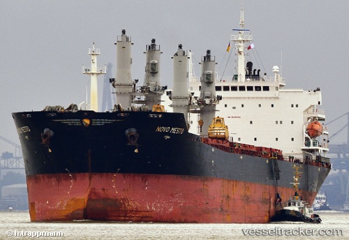
Find the position of the vessel MANALAGI TARA on the map. The latter are known coordinates and path.
marine traffic ship tracker show on live map
The current position of vessel MANALAGI TARA is -5.8740466666667 lat / 106.11831833333 lng. Updated: 2025-10-24 07:27:24 UTCCurrently sailing under the flag of Indonesia
MANALAGI TARA built in 2005 year
Deadweight:
53626 tDetails:
Last coordinates of the vessel:
UTC, -5.8745083333333, 106.119445, course: -1, speed: 0.1UTC, -5.8741066666667, 106.11875333333, course: -1, speed: 0
UTC, -5.8742166666667, 106.11920333333, course: -1, speed: 0.1
2025-10-24 07:27:24 UTC, -5.8740466666667, 106.11831833333, course: -1, speed: 0.1