 vesseltracker.com
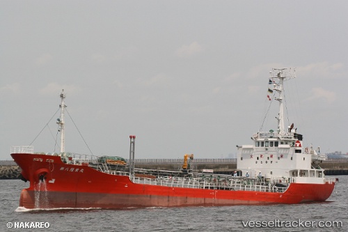
Live AIS position:
3.07915° N, 101.33941° E UTC. Near Kapar),
updated 2025-11-19 15:22:36 UTC.
Find the position of the vessel Rahmat on the map. The latter are known coordinates and path.
marine traffic ship tracker show on live map
The current position of vessel Rahmat is 3.07915 lat / 101.33941 lng. Updated: 2025-11-19 15:22:36 UTCDetails:
Last coordinates of the vessel:
UTC, 3.07926, 101.33951, course: -1, speed: 0UTC, 3.07921, 101.33943, course: -1, speed: 0
UTC, 3.07918, 101.33943, course: -1, speed: 0
2025-11-19 15:22:36 UTC, 3.07915, 101.33941, course: -1, speed: 0