 vesseltracker.com
Find the position of the vessel Statsraad Lehmkuhl on the map. The latter are known coordinates and path.
marine traffic ship tracker show on live map
The current position of vessel Statsraad Lehmkuhl is 42.71299 lat / -125.99018 lng. Updated: 2025-10-31 11:24:23 UTCCurrently sailing under the flag of Norway
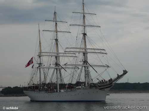
Statsraad Lehmkuhl built in 1914 year
Details:
Last coordinates of the vessel:
UTC, 42.88450, -126.10510, course: 154, speed: 5.3UTC, 42.84045, -126.08142, course: 155, speed: 5.6
UTC, 42.73353, -126.00892, course: 152, speed: 5.8
2025-10-31 11:24:23 UTC, 42.71299, -125.99018, course: 150, speed: 5.7
The ship also appears on the maps: