 vesseltracker.com
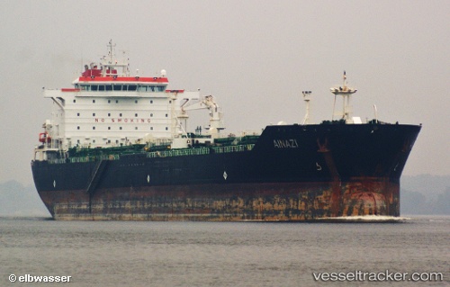
Find the position of the vessel Ainazi on the map. The latter are known coordinates and path.
marine traffic ship tracker show on live map
The current position of vessel Ainazi is 43.363413333333 lat / 4.9355883333333 lng. Updated: 2025-10-21 12:20:41 UTCDetails:
Last coordinates of the vessel:
UTC, 43.363636666667, 4.9358166666667, course: 125, speed: 0.2UTC, 43.363565, 4.93571, course: 120, speed: 0.1
UTC, 43.36309, 4.935475, course: 105, speed: 0.1
2025-10-21 12:20:41 UTC, 43.363413333333, 4.9355883333333, course: 114, speed: 0.2
The ship also appears on the maps: