 vesseltracker.com
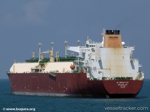
Find the position of the vessel Al Rekayyat on the map. The latter are known coordinates and path.
marine traffic ship tracker show on live map
The current position of vessel Al Rekayyat is 43.966335 lat / 13.657551666667 lng. Updated: 2025-10-04 05:33:05 UTCDetails:
Last coordinates of the vessel:
UTC, 44.443333333333, 13.108331666667, course: -1, speed: 16UTC, 44.169391666667, 13.249745, course: 124, speed: 15.9
UTC, 44.040403333333, 13.508768333333, course: 124, speed: 16.5
2025-10-04 05:33:05 UTC, 43.966335, 13.657551666667, course: 124, speed: 16.3
The ship also appears on the maps: