 vesseltracker.com
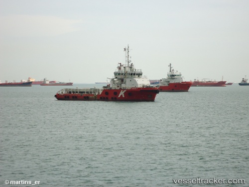
Find the position of the vessel Cecilie K on the map. The latter are known coordinates and path.
marine traffic ship tracker show on live map
The current position of vessel Cecilie K is 24.91401 lat / 53.70537 lng. Updated: 2025-11-10 20:31:29 UTCCurrently sailing under the flag of Marshall Is
Cecilie K built in 2010 year
Deadweight:
1686 tDetails:
Last coordinates of the vessel:
UTC, 24.91324, 53.70543, course: 352, speed: 0UTC, 24.91327, 53.70544, course: 353, speed: 0
UTC, 24.91328, 53.70544, course: 354, speed: 0
2025-11-10 20:31:29 UTC, 24.91401, 53.70537, course: 270, speed: 0.8