 vesseltracker.com
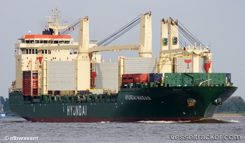
Find the position of the vessel Hyundai Masan on the map. The latter are known coordinates and path.
marine traffic ship tracker show on live map
The current position of vessel Hyundai Masan is 31.686606666667 lat / 121.15691 lng. Updated: 2025-11-08 23:42:56 UTCDetails:
Last coordinates of the vessel:
UTC, 31.686611666667, 121.15696166667, course: 304, speed: 0UTC, 31.68662, 121.15698166667, course: 304, speed: 0
UTC, 31.68666, 121.15699333333, course: 304, speed: 0
2025-11-08 23:42:56 UTC, 31.686606666667, 121.15691, course: 305, speed: 0