 vesseltracker.com
Live AIS position:
8.82752° N, 79.54230° W UTC. Near TABOGA),
updated 2025-11-19 20:43:15 UTC.
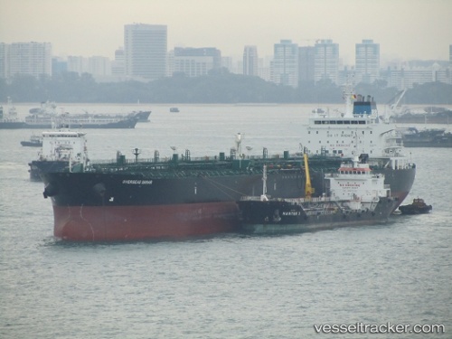
Find the position of the vessel Seaways Samar on the map. The latter are known coordinates and path.
marine traffic ship tracker show on live map
The current position of vessel Seaways Samar is 8.82752 lat / -79.54230 lng. Updated: 2025-11-19 20:43:15 UTCDetails:
Last coordinates of the vessel:
UTC, 8.82833, -79.54333, course: -1, speed: 0UTC, 8.82817, -79.54100, course: 320, speed: 0.2
UTC, 8.82748, -79.54213, course: 353, speed: 0.1
2025-11-19 20:43:15 UTC, 8.82752, -79.54230, course: 358, speed: 0.1