 vesseltracker.com
Live AIS position:
36.72833° N, 13.19500° E UTC. 37 nm SW of Porto Empedocle),
updated 2025-11-20 00:31:32 UTC.
Find the position of the vessel The Amigo on the map. The latter are known coordinates and path.
marine traffic ship tracker show on live map
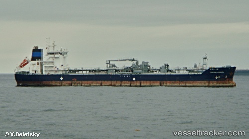
The current position of vessel The Amigo is 36.72833 lat / 13.19500 lng. Updated: 2025-11-20 00:31:32 UTCCurrently sailing under the flag of Marshall Is
The Amigo built in 2012 year
Deadweight:
14911 tDetails:
Last coordinates of the vessel:
UTC, 36.96629, 12.38958, course: 107, speed: 12.6UTC, 36.87526, 12.70259, course: 110, speed: 12.8
UTC, 36.81002, 12.92180, course: 109, speed: 13.3
2025-11-20 00:31:32 UTC, 36.72833, 13.19500, course: -1, speed: 13