 vesseltracker.com
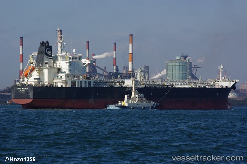
Find the position of the vessel Sti Le Rocher on the map. The latter are known coordinates and path.
marine traffic ship tracker show on live map
The current position of vessel Sti Le Rocher is 1.2149666666667 lat / 103.80990833333 lng. Updated: 2025-11-03 02:20:13 UTCDetails:
Last coordinates of the vessel:
UTC, 1.216135, 103.80877, course: 217, speed: 0.3UTC, 1.2161566666667, 103.80940833333, course: 231, speed: 0.1
UTC, 1.2153616666667, 103.80983666667, course: 264, speed: 0.1
2025-11-03 02:20:13 UTC, 1.2149666666667, 103.80990833333, course: 277, speed: 0.1