 vesseltracker.com
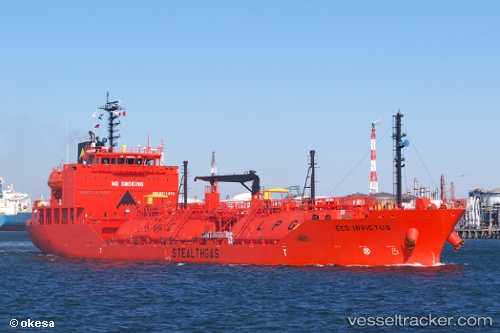
Find the position of the vessel Eco Invictus on the map. The latter are known coordinates and path.
marine traffic ship tracker show on live map
The current position of vessel Eco Invictus is 55.8916 lat / 12.6616 lng. Updated: 2025-06-07 00:59:11 UTCCurrently sailing under the flag of Marshall Is
Port of registry:
Majuro (capital of the Marshall Islands)Payload_mass:
5011 tonneGross tonnage:
4294Service entry:
2014-01-01T00:00:00ZDetails:
Last coordinates of the vessel:
UTC, 56.435, 12.27, course: 169, speed: 11.3UTC, 56.2042, 12.3795, course: 171, speed: 7.3
UTC, 56.1232, 12.5018, course: 134, speed: 7.7
2025-06-07 00:59:11 UTC, 55.8916, 12.6616, course: 162, speed: 13.2