 vesseltracker.com
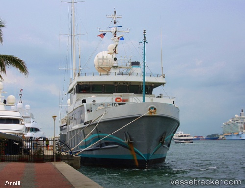
Find the position of the vessel Alucia on the map. The latter are known coordinates and path.
marine traffic ship tracker show on live map
The current position of vessel Alucia is -13.826666666667 lat / -171.76166666667 lng. Updated: 2025-10-25 19:22:17 UTCCurrently sailing under the flag of Marshall Is
Alucia built in 1974 year
Deadweight:
959 tDetails:
Last coordinates of the vessel:
UTC, -13.826666666667, -171.76166666667, course: -1, speed: 0UTC, -13.827536666667, -171.76205166667, course: 169, speed: 0
UTC, -13.826666666667, -171.76166666667, course: -1, speed: 0
2025-10-25 19:22:17 UTC, -13.826666666667, -171.76166666667, course: -1, speed: 0