 vesseltracker.com
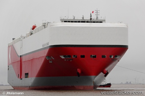
Live AIS position:
40.74133° N, 29.90206° E UTC. Near IZMIT),
updated 2025-11-24 01:52:55 UTC.
Find the position of the vessel Hawaiian Highway on the map. The latter are known coordinates and path.
marine traffic ship tracker show on live map
The current position of vessel Hawaiian Highway is 40.74133 lat / 29.90206 lng. Updated: 2025-11-24 01:52:55 UTCDetails:
Last coordinates of the vessel:
UTC, 40.74076, 29.90144, course: 97, speed: 0UTC, 40.74099, 29.90152, course: 137, speed: 0
UTC, 40.74115, 29.90158, course: 158, speed: 0.1
2025-11-24 01:52:55 UTC, 40.74133, 29.90206, course: 201, speed: 0.1