 vesseltracker.com
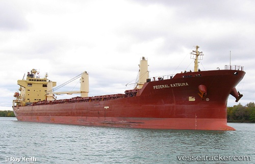
Find the position of the vessel FEDERAL KATSURA on the map. The latter are known coordinates and path.
marine traffic ship tracker show on live map
The current position of vessel FEDERAL KATSURA is 51.258876666667 lat / 4.3822566666667 lng. Updated: 2025-10-24 17:11:38 UTCCurrently sailing under the flag of Marshall Islands
FEDERAL KATSURA built in 2005 year
Deadweight:
32594 tDetails:
Last coordinates of the vessel:
UTC, 51.258881666667, 4.3822616666667, course: 271, speed: 0UTC, 51.258908333333, 4.3822583333333, course: 271, speed: 0
UTC, 51.258898333333, 4.3822766666667, course: 271, speed: 0
2025-10-24 17:11:38 UTC, 51.258876666667, 4.3822566666667, course: 271, speed: 0