 vesseltracker.com
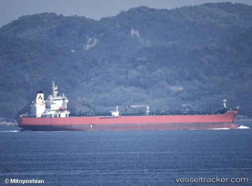
Find the position of the vessel Atlantic Harmony on the map. The latter are known coordinates and path.
marine traffic ship tracker show on live map
The current position of vessel Atlantic Harmony is 35.51780 lat / 139.76715 lng. Updated: 2025-11-13 21:51:22 UTCDetails:
Last coordinates of the vessel:
UTC, 35.51778, 139.76720, course: 337, speed: 0UTC, 35.51778, 139.76717, course: 337, speed: 0
UTC, 35.51780, 139.76715, course: 337, speed: 0
2025-11-13 21:51:22 UTC, 35.51780, 139.76715, course: 337, speed: 0