 vesseltracker.com
Live AIS position:
35.60693° N, 139.76520° E UTC. Near Aomi),
updated 2025-11-19 23:58:42 UTC.
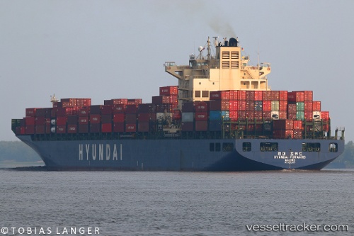
Find the position of the vessel Hyundai Forward on the map. The latter are known coordinates and path.
marine traffic ship tracker show on live map
The current position of vessel Hyundai Forward is 35.60693 lat / 139.76520 lng. Updated: 2025-11-19 23:58:42 UTCDetails:
Last coordinates of the vessel:
UTC, 35.60692, 139.76517, course: 329, speed: 0UTC, 35.60680, 139.76540, course: 329, speed: 0
UTC, 35.60693, 139.76520, course: 329, speed: 0
2025-11-19 23:58:42 UTC, 35.60693, 139.76520, course: 329, speed: 0