 vesseltracker.com
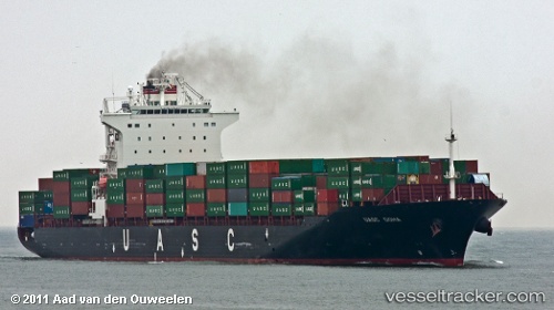
Find the position of the vessel Eleni T on the map. The latter are known coordinates and path.
marine traffic ship tracker show on live map
The current position of vessel Eleni T is 21.6943 lat / 63.1243 lng. Updated: 2025-05-29 03:47:51 UTCCurrently sailing under the flag of Marshall Is
Eleni T built in 2009 year
Port of registry:
Majuro (capital of the Marshall Islands)Speed:
24.5 knotDeadweight:
50700 tPayload_mass:
50701.6 tonneGross tonnage:
40030Service entry:
2009-01-01T00:00:00ZManufacturer:
Samsung Heavy Industries (South Korean shipbuilding company)Details:
Last coordinates of the vessel:
UTC, 21.9986, 63.6076, course: 235, speed: 10.6UTC, 21.8537, 63.3799, course: 237, speed: 10.3
UTC, 21.772, 63.2515, course: 237, speed: 10.7
2025-05-29 03:47:51 UTC, 21.6943, 63.1243, course: 233, speed: 11