 vesseltracker.com
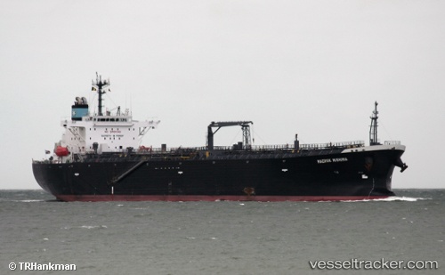
Find the position of the vessel Atalanta T on the map. The latter are known coordinates and path.
marine traffic ship tracker show on live map
The current position of vessel Atalanta T is 1.23600 lat / 103.77004 lng. Updated: 2025-11-15 11:32:38 UTCDetails:
Last coordinates of the vessel:
UTC, 1.23596, 103.77001, course: 129, speed: 0UTC, 1.23595, 103.77002, course: 129, speed: 0
UTC, 1.23598, 103.77000, course: 129, speed: 0
2025-11-15 11:32:38 UTC, 1.23600, 103.77004, course: 129, speed: 0