 vesseltracker.com
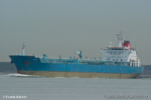
Find the position of the vessel STARLIGHT I on the map. The latter are known coordinates and path.
marine traffic ship tracker show on live map
The current position of vessel STARLIGHT I is -0.66333333333333 lat / 8.8233333333333 lng. Updated: 2025-10-02 21:30:51 UTCCurrently sailing under the flag of Marshall Is
STARLIGHT I built in 0 year
Deadweight:
0 tDetails:
Last coordinates of the vessel:
UTC, -0.662545, 8.8226583333333, course: 190, speed: 0UTC, -0.66166666666667, 8.8216666666667, course: -1, speed: 0
UTC, -0.66166666666667, 8.8233333333333, course: -1, speed: 0
2025-10-02 21:30:51 UTC, -0.66333333333333, 8.8233333333333, course: -1, speed: 0