 vesseltracker.com
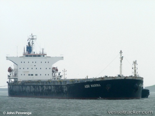
Vessel 538009094 IMO: 9442938, MMSI: 538009094
UTC, 40.99005, 17.99477, course: 134, speed: 13.4
UTC, 40.82560, 18.21892, course: 132, speed: 13.3
2026-01-16 17:38:47 UTC, 40.67937, 18.43210, course: 128, speed: 13.1
Live AIS position:
UTC. 19 nm N of San Cataldo),
updated 2026-01-16 17:38:47 UTC.
Find the position of the vessel 538009094 on the map. The latter are known coordinates and path.
marine traffic ship tracker show on live map
The current position of vessel 538009094 is 40.67937 lat / 18.43210 lng. Updated: 2026-01-16 17:38:47 UTCDetails:
Last coordinates of the vessel:
UTC, 41.05448, 17.89089, course: 134, speed: 13.5UTC, 40.99005, 17.99477, course: 134, speed: 13.4
UTC, 40.82560, 18.21892, course: 132, speed: 13.3
2026-01-16 17:38:47 UTC, 40.67937, 18.43210, course: 128, speed: 13.1