 vesseltracker.com
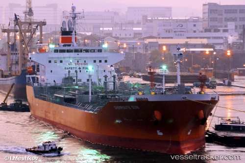
Vessel '538009346' IMO: 9414228, MMSI: 538009346
UTC, 2.80222, 101.28424, course: 307, speed: 0
UTC, 2.80220, 101.28423, course: 309, speed: 0
2026-01-17 12:58:31 UTC, 2.81674, 101.27334, course: 337, speed: 4.5
Live AIS position:
UTC. Near Pulau Indah),
updated 2026-01-17 12:58:31 UTC.
Find the position of the vessel '538009346' on the map. The latter are known coordinates and path.
marine traffic ship tracker show on live map
The current position of vessel '538009346' is 2.81674 lat / 101.27334 lng. Updated: 2026-01-17 12:58:31 UTCDetails:
Last coordinates of the vessel:
UTC, 2.80246, 101.28436, course: 298, speed: 0UTC, 2.80222, 101.28424, course: 307, speed: 0
UTC, 2.80220, 101.28423, course: 309, speed: 0
2026-01-17 12:58:31 UTC, 2.81674, 101.27334, course: 337, speed: 4.5