 vesseltracker.com
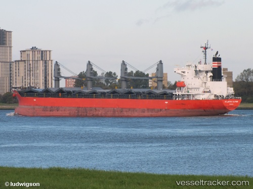
Vessel Manta Nilgun IMO: 9553024, MMSI: 538009477 Bulk Carrier
UTC, 2.34023, 90.00812, course: 54, speed: 10.6
UTC, 2.44753, 90.15166, course: 54, speed: 10.6
2026-01-17 09:51:56 UTC, 2.46936, 90.18179, course: 55, speed: 10.5
Live AIS position:
UTC. 341 nm SE of Abakaliki),
updated 2026-01-17 09:51:56 UTC.
Find the position of the vessel Manta Nilgun on the map. The latter are known coordinates and path.
marine traffic ship tracker show on live map
The current position of vessel Manta Nilgun is 2.46936 lat / 90.18179 lng. Updated: 2026-01-17 09:51:56 UTCCurrently sailing under the flag of Marshall Islands
Details:
Last coordinates of the vessel:
UTC, 1.98681, 89.52740, course: 55, speed: 10.5UTC, 2.34023, 90.00812, course: 54, speed: 10.6
UTC, 2.44753, 90.15166, course: 54, speed: 10.6
2026-01-17 09:51:56 UTC, 2.46936, 90.18179, course: 55, speed: 10.5