 vesseltracker.com
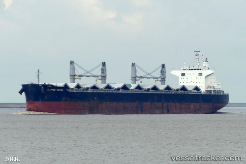
Find the position of the vessel DARYA ANITA on the map. The latter are known coordinates and path.
marine traffic ship tracker show on live map
The current position of vessel DARYA ANITA is -25.96839 lat / 32.55530 lng. Updated: 2025-11-18 12:33:55 UTCCurrently sailing under the flag of Marshall Islands
DARYA ANITA built in 2013 year
Deadweight:
61448 tDetails:
Last coordinates of the vessel:
UTC, -25.96839, 32.55530, course: 123, speed: 0UTC, -25.96833, 32.55500, course: -1, speed: 0
UTC, -25.96839, 32.55528, course: 123, speed: 0
2025-11-18 12:33:55 UTC, -25.96839, 32.55530, course: 123, speed: 0