 vesseltracker.com
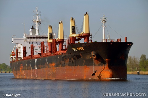
Find the position of the vessel CLIPPER SPEY on the map. The latter are known coordinates and path.
marine traffic ship tracker show on live map
The current position of vessel CLIPPER SPEY is 16.973025 lat / 82.283441666667 lng. Updated: 2025-11-01 03:15:08 UTCCurrently sailing under the flag of Marshall Islands
CLIPPER SPEY built in 2011 year
Deadweight:
33985 tDetails:
Last coordinates of the vessel:
UTC, 16.973016666667, 82.283423333333, course: 10, speed: 0UTC, 16.973003333333, 82.283413333333, course: 10, speed: 0
UTC, 16.973003333333, 82.28341, course: 10, speed: 0.1
2025-11-01 03:15:08 UTC, 16.973025, 82.283441666667, course: 10, speed: 0