 vesseltracker.com
Live AIS position:
45.47156° N, 12.24448° E UTC. Near Mestre),
updated 2025-11-21 22:50:46 UTC.
Find the position of the vessel ASH ADRIATIC on the map. The latter are known coordinates and path.
marine traffic ship tracker show on live map
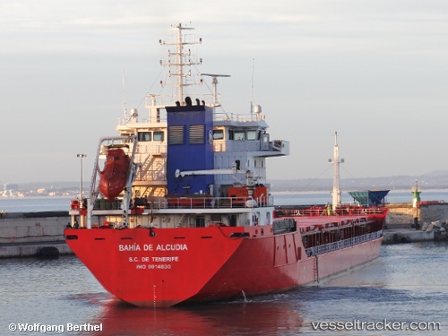
The current position of vessel ASH ADRIATIC is 45.47156 lat / 12.24448 lng. Updated: 2025-11-21 22:50:46 UTCCurrently sailing under the flag of Marshall Islands
ASH ADRIATIC built in 2012 year
Deadweight:
10609 tDetails:
Last coordinates of the vessel:
UTC, 45.47155, 12.24446, course: 304, speed: 0UTC, 45.47156, 12.24446, course: 307, speed: 0
UTC, 45.47154, 12.24450, course: 304, speed: 0
2025-11-21 22:50:46 UTC, 45.47156, 12.24448, course: 304, speed: 0