 vesseltracker.com
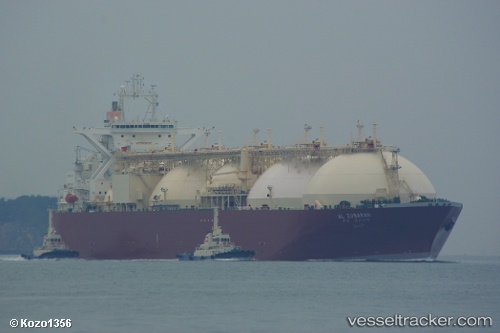
Find the position of the vessel AL ZUBARAH on the map. The latter are known coordinates and path.
marine traffic ship tracker show on live map
The current position of vessel AL ZUBARAH is 24.2988 lat / 120.474 lng. Updated: 2025-08-02 22:20:42 UTCCurrently sailing under the flag of Marshall Islands
AL ZUBARAH built in 1996 year
Deadweight:
72557 tDetails:
Last coordinates of the vessel:
UTC, 24.2511, 120.498, course: 18, speed: 0UTC, 24.2511, 120.498, course: 18, speed: 0
UTC, 24.2512, 120.499, course: 21, speed: 0.8
2025-08-02 22:20:42 UTC, 24.2988, 120.474, course: 279, speed: 10.9