 vesseltracker.com
Live AIS position:
47.32323° N, 54.14468° W UTC. Near Argentia),
updated 2025-11-21 04:40:36 UTC.
Find the position of the vessel JESSICA B on the map. The latter are known coordinates and path.
marine traffic ship tracker show on live map
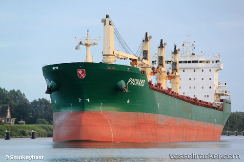
The current position of vessel JESSICA B is 47.32323 lat / -54.14468 lng. Updated: 2025-11-21 04:40:36 UTCCurrently sailing under the flag of Marshall Islands
JESSICA B built in 2003 year
Deadweight:
37384 tDetails:
Last coordinates of the vessel:
UTC, 47.29563, -53.98422, course: 208, speed: 0UTC, 47.29565, -53.98423, course: 209, speed: 0
UTC, 47.34995, -54.01827, course: 260, speed: 9.3
2025-11-21 04:40:36 UTC, 47.32323, -54.14468, course: 220, speed: 11.5