 vesseltracker.com
Find the position of the vessel UOG HARRIET G on the map. The latter are known coordinates and path.
marine traffic ship tracker show on live map
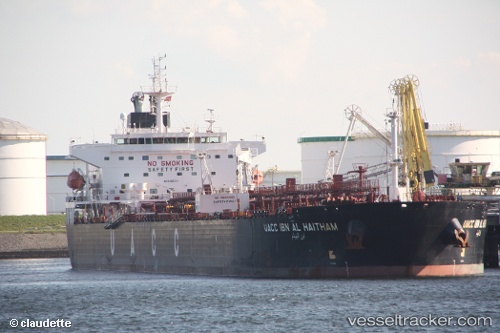
The current position of vessel UOG HARRIET G is 25.14332 lat / 56.48342 lng. Updated: 2025-10-29 06:47:05 UTCCurrently sailing under the flag of Marshall Islands
UOG HARRIET G built in 2009 year
Deadweight:
73338 tDetails:
Last coordinates of the vessel:
UTC, 25.1406, 56.483138333333, course: 49, speed: 0UTC, 25.141751666667, 56.482765, course: 95, speed: 0
UTC, 25.143036666667, 56.483233333333, course: 136, speed: 0
2025-10-29 06:47:05 UTC, 25.14332, 56.48342, course: 152, speed: 0