 vesseltracker.com
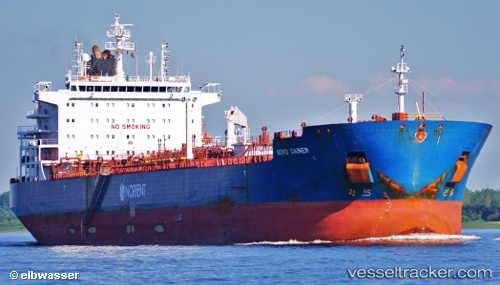
Vessel LA DIGUE IMO: 9448724, MMSI: 538009887 Chemical/Oil Products Tanker
UTC, -6.86449, 48.71319, course: 272, speed: 12.6
UTC, -6.85805, 48.42868, course: 271, speed: 13
2026-01-17 20:44:47 UTC, -6.85474, 48.32953, course: 271, speed: 13.2
Live AIS position:
UTC. 327 nm W of Ile Desroches),
updated 2026-01-17 20:44:47 UTC.
Find the position of the vessel LA DIGUE on the map. The latter are known coordinates and path.
marine traffic ship tracker show on live map
The current position of vessel LA DIGUE is -6.85474 lat / 48.32953 lng. Updated: 2026-01-17 20:44:47 UTCCurrently sailing under the flag of Marshall Islands
LA DIGUE built in 2011 year
Deadweight:
50281 tDetails:
Last coordinates of the vessel:
UTC, -6.78587, 48.91102, course: 237, speed: 12.5UTC, -6.86449, 48.71319, course: 272, speed: 12.6
UTC, -6.85805, 48.42868, course: 271, speed: 13
2026-01-17 20:44:47 UTC, -6.85474, 48.32953, course: 271, speed: 13.2