 vesseltracker.com
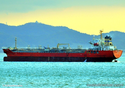
Find the position of the vessel NO. 2 OCEAN PIONEER on the map. The latter are known coordinates and path.
marine traffic ship tracker show on live map
The current position of vessel NO. 2 OCEAN PIONEER is 1.19780 lat / 103.69302 lng. Updated: 2025-11-13 05:25:49 UTCCurrently sailing under the flag of Marshall Islands
NO. 2 OCEAN PIONEER built in 2006 year
Deadweight:
19991 tDetails:
Last coordinates of the vessel:
UTC, 1.27676, 103.66375, course: 237, speed: 0UTC, 1.27688, 103.66366, course: 247, speed: 0
UTC, 1.19750, 103.69420, course: 240, speed: 2.2
2025-11-13 05:25:49 UTC, 1.19780, 103.69302, course: 206, speed: 0.1