 vesseltracker.com
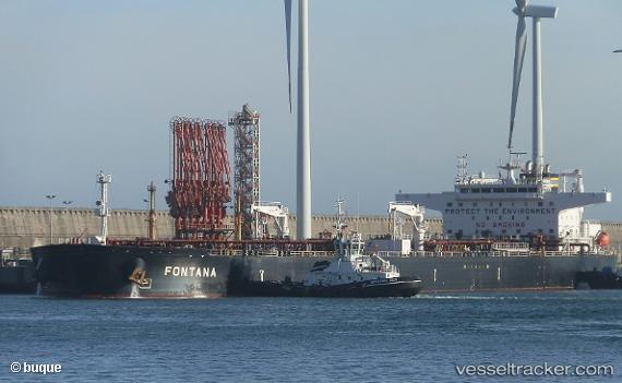
Vessel FONTANA IMO: 9792541, MMSI: 538009972 Crude Oil Tanker
UTC, 25.95833, 123.03833, course: -1, speed: 14
UTC, 26.11162, 123.07059, course: 9, speed: 13.8
2026-01-14 22:17:15 UTC, 26.87852, 123.28787, course: 5, speed: 13.6
Live AIS position:
UTC. 116 nm SE of Wenling Longmen Port),
updated 2026-01-14 22:17:15 UTC.
Find the position of the vessel FONTANA on the map. The latter are known coordinates and path.
marine traffic ship tracker show on live map
The current position of vessel FONTANA is 26.87852 lat / 123.28787 lng. Updated: 2026-01-14 22:17:15 UTCCurrently sailing under the flag of Marshall Islands
FONTANA built in 2017 year
Deadweight:
159541 tDetails:
Last coordinates of the vessel:
UTC, 25.58333, 122.94500, course: -1, speed: 14UTC, 25.95833, 123.03833, course: -1, speed: 14
UTC, 26.11162, 123.07059, course: 9, speed: 13.8
2026-01-14 22:17:15 UTC, 26.87852, 123.28787, course: 5, speed: 13.6