vessel STEFANOS IMO: 9719575, Bulk Carrier vesseltracker.com
Vessel STEFANOS IMO: 9719575, Bulk Carrier
MMSI: 538010240 callsign: V7A5791 size: x

Find the position of the vessel STEFANOS on the map. The latter are known coordinates and path.

marine traffic ship tracker show on live map

The current position of vessel STEFANOS is 41.103326666667 lat / 1.22893 lng. Updated: 2025-10-10 19:44:43 UTC

Currently sailing under the flag of Marshall Islands

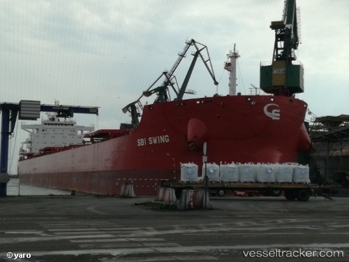
STEFANOS built in 2017 year

Deadweight:
81237 t

Details:


Last coordinates of the vessel:
UTC, 41.103375, 1.22895, course: 345, speed: 0
UTC, 41.10335, 1.2289283333333, course: 345, speed: 0
UTC, 41.103358333333, 1.2289416666667, course: 345, speed: 0
2025-10-10 19:44:43 UTC, 41.103326666667, 1.22893, course: 345, speed: 0


Most frequent ports a vessels calls at STEFANOS (538010240):

Sambu, traffic: 20
Belawan, traffic: 2
Paranagua, traffic: 2
Gemalink, traffic: 2
Santos, traffic: 1
Singapore, traffic: 1

Link to the map:


Find another ship

STEFANOS (538010240) last ports (portcalls and passsages)

Singapore | 2022-09-15 11:01:50
Sambu | 2022-09-14 22:13:00
Sambu | 2022-09-10 19:41:16
Sambu | 2022-09-06 19:12:08
Sambu | 2022-09-02 19:07:51
Sambu | 2022-08-29 16:43:06
Sambu | 2022-08-25 13:43:43
Sambu | 2022-08-21 10:56:00
Sambu | 2022-08-17 10:33:51
Sambu | 2022-08-13 10:02:49
Sambu | 2022-08-09 07:25:55
Sambu | 2022-08-05 07:04:26
Sambu | 2022-08-01 04:16:28
Sambu | 2022-07-28 01:41:26
Sambu | 2022-07-24 01:35:55
Sambu | 2022-07-19 22:39:14
Sambu | 2022-07-15 22:21:44
Sambu | 2022-06-13 13:13:27
Santos | 2022-05-07 22:07:28
Sambu | 2022-03-27 03:35:45
Belawan | 2022-03-23 05:29:03
Paranagua | 2022-01-27 01:50:46
Sambu | 2021-12-05 05:54:22
Gemalink | 2021-12-01 00:25:09