 vesseltracker.com
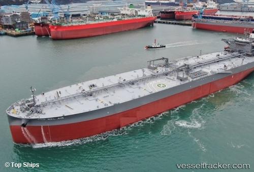
Find the position of the vessel Eco Bel Air on the map. The latter are known coordinates and path.
marine traffic ship tracker show on live map
The current position of vessel Eco Bel Air is 37.318831666667 lat / 5.8575066666667 lng. Updated: 2025-10-28 02:10:35 UTCCurrently sailing under the flag of Marshall Islands
Details:
Last coordinates of the vessel:
UTC, 37.384401666667, 6.4765033333333, course: 264, speed: 12.3UTC, 37.360723333333, 6.2271483333333, course: 262, speed: 12.4
UTC, 37.318831666667, 5.8575066666667, course: 259, speed: 12.4
2025-10-28 02:10:35 UTC, 37.318831666667, 5.8575066666667, course: 259, speed: 12.4