 vesseltracker.com
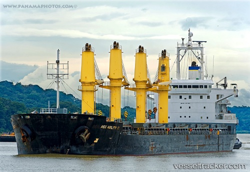
Find the position of the vessel 563121400 on the map. The latter are known coordinates and path.
marine traffic ship tracker show on live map
The current position of vessel 563121400 is -26.3171 lat / -42.43 lng. Updated: 2025-07-31 16:24:10 UTCDetails:
Last coordinates of the vessel:
UTC, -25.9488, -42.0842, course: 221, speed: 9.2UTC, -26.1483, -42.2652, course: 222, speed: 9.6
UTC, -26.2503, -42.3654, course: 220, speed: 9.4
2025-07-31 16:24:10 UTC, -26.3171, -42.43, course: 222, speed: 10.2