 vesseltracker.com
Find the position of the vessel Anika on the map. The latter are known coordinates and path.
marine traffic ship tracker show on live map
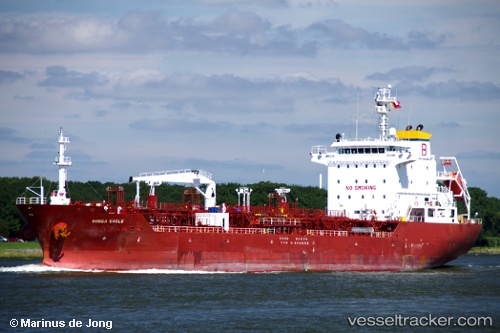
The current position of vessel Anika is 31.148383333333 lat / 123.04718333333 lng. Updated: 2025-10-21 19:44:41 UTCCurrently sailing under the flag of Thailand
Anika built in 2008 year
Deadweight:
13250 tDetails:
Last coordinates of the vessel:
UTC, 30.9703, 122.86896666667, course: 79, speed: 7.4UTC, 31.014183333333, 123.02395, course: 12, speed: 6.3
UTC, 31.0226, 123.02773333333, course: 3, speed: 5.7
2025-10-21 19:44:41 UTC, 31.148383333333, 123.04718333333, course: 353, speed: 5.5