 vesseltracker.com
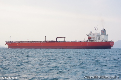
Find the position of the vessel 572439220 on the map. The latter are known coordinates and path.
marine traffic ship tracker show on live map
The current position of vessel 572439220 is 22.257451666667 lat / 120.16206666667 lng. Updated: 2025-10-31 05:24:19 UTCDetails:
Last coordinates of the vessel:
UTC, 22.525801666667, 120.18213333333, course: 180, speed: 8.8UTC, 22.437818333333, 120.18376, course: 185, speed: 8.6
UTC, 22.345118333333, 120.17886666667, course: 182, speed: 8.8
2025-10-31 05:24:19 UTC, 22.257451666667, 120.16206666667, course: 200, speed: 3.7