 vesseltracker.com
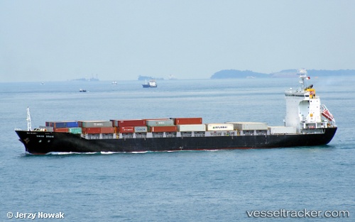
Vessel Haian Link IMO: 9522788, MMSI: 574004050 Container Ship
UTC, 17.22677, 108.10898, course: 148, speed: 13
UTC, 17.02833, 108.23167, course: -1, speed: 12
2026-01-18 15:22:32 UTC, 17.02833, 108.23167, course: -1, speed: 12
Live AIS position:
UTC. 44 nm N of Chan May Port),
updated 2026-01-18 15:22:32 UTC.
Find the position of the vessel Haian Link on the map. The latter are known coordinates and path.
marine traffic ship tracker show on live map
The current position of vessel Haian Link is 17.02833 lat / 108.23167 lng. Updated: 2026-01-18 15:22:32 UTCCurrently sailing under the flag of Vietnam
Haian Link built in 2010 year
Deadweight:
15204 tDetails:
Last coordinates of the vessel:
UTC, 17.60333, 107.87167, course: -1, speed: 13UTC, 17.22677, 108.10898, course: 148, speed: 13
UTC, 17.02833, 108.23167, course: -1, speed: 12
2026-01-18 15:22:32 UTC, 17.02833, 108.23167, course: -1, speed: 12