vessel Tablate Tide IMO: 9615810, Offshore Tug Supply Ship
vesseltracker.com
Vessel Tablate Tide IMO: 9615810, Offshore Tug Supply Ship
MMSI: 576984000 callsign: YJRB7 size: 14x59

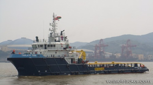
Find the position of the vessel Tablate Tide on the map. The latter are known coordinates and path.

marine traffic ship tracker show on live map

The current position of vessel Tablate Tide is 27.13884 lat / 50.41558 lng. Updated: 2025-11-16 15:01:55 UTC
Details:


Last coordinates of the vessel:
UTC, 27.41299, 50.07323, course: 132, speed: 8.2
UTC, 27.29424, 50.22429, course: 117, speed: 7.9
UTC, 27.21384, 50.39166, course: 184, speed: 8.1
2025-11-16 15:01:55 UTC, 27.13884, 50.41558, course: 172, speed: 8.6


Most frequent ports a vessels calls at Tablate Tide (576984000):

Ad Dammam, traffic: 7
Ras Tannurah, traffic: 3
Assaluyeh, traffic: 1
AL JUBAIL, traffic: 1

Link to the map:


Find another ship

Tablate_Tide (576984000) last ports (portcalls and passsages)

Assaluyeh | 2025-06-22 16:00:17
AL JUBAIL | 2025-01-20 09:33:09
Ras Tannurah | 2024-02-29 13:59:33
Ad Dammam | 2024-02-25 13:22:30
Ad Dammam | 2024-02-21 10:19:58
Ad Dammam | 2024-02-17 04:28:42
Ad Dammam | 2024-02-13 04:10:33
Ad Dammam | 2024-02-09 02:59:56
Ad Dammam | 2024-02-05 02:27:09
Ras Tannurah | 2022-05-16 17:03:33
Ras Tannurah | 2022-03-31 09:16:16