 vesseltracker.com
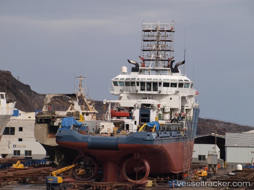
Find the position of the vessel AL HARTHY TIDE on the map. The latter are known coordinates and path.
marine traffic ship tracker show on live map
The current position of vessel AL HARTHY TIDE is -5.33045 lat / 12.12017 lng. Updated: 2023-01-10 19:36:46 UTCCurrently sailing under the flag of Vanuatu
AL HARTHY TIDE built in 2009 year
Deadweight:
2551 tDetails:
Last coordinates of the vessel:
2023-01-10 19:36:46 UTC, -5.33045, 12.12017, course: 165, speed: 0