 vesseltracker.com
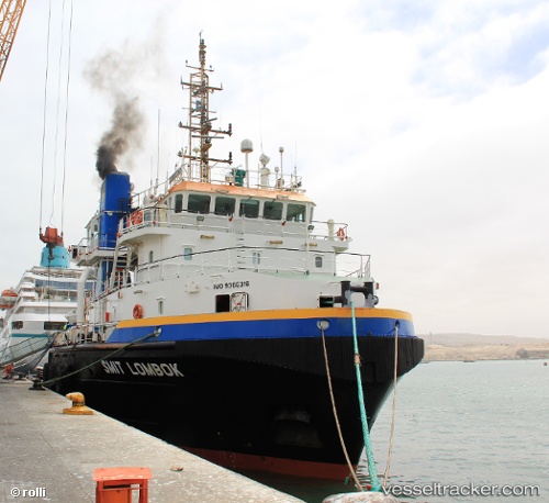
Vessel NOMASA IMO: 9366316, MMSI: 601890100 Offshore Tug/Supply Ship
UTC, -29.75208, 31.40436, course: 25, speed: 2
UTC, -29.73717, 31.41218, course: 29, speed: 2.3
2026-01-16 08:13:58 UTC, -29.67833, 31.43667, course: -1, speed: 1
Live AIS position:
UTC. 14 nm SE of Ballito Bay),
updated 2026-01-16 08:13:58 UTC.
Find the position of the vessel NOMASA on the map. The latter are known coordinates and path.
marine traffic ship tracker show on live map
The current position of vessel NOMASA is -29.67833 lat / 31.43667 lng. Updated: 2026-01-16 08:13:58 UTCCurrently sailing under the flag of South Africa
NOMASA built in 2006 year
Deadweight:
1833 tDetails:
Last coordinates of the vessel:
UTC, -29.90418, 31.32609, course: 47, speed: 2.6UTC, -29.75208, 31.40436, course: 25, speed: 2
UTC, -29.73717, 31.41218, course: 29, speed: 2.3
2026-01-16 08:13:58 UTC, -29.67833, 31.43667, course: -1, speed: 1